Home / Solutions / GeoAI & Digital Twin
GeoAI & Digital Twin
Location Intelligence and Immersive 3D for Real-world Decisions
GIS platforms, imagery AI, drone mapping and 3D digital twins for cities, infrastructure, land and utilities.
Overview
Location Intelligence for a Smarter Tomorrow
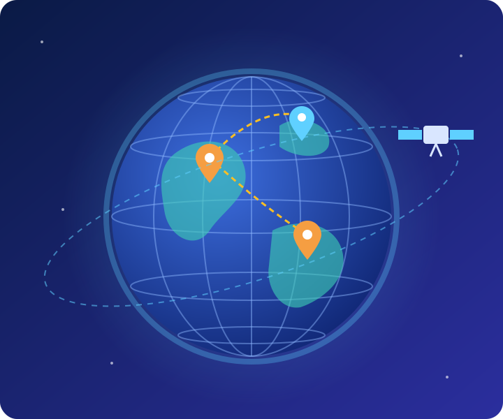
We add location to every decision. By combining GIS, satellite and drone imagery, AI and 3D digital twins, we help departments and enterprises map assets, detect change, simulate scenarios and plan what happens on the ground.
Capabilities
From Maps to Living Digital Twins

GIS Analytics
- Geodatabases, web maps and field data apps
- Spatial analytics and data management
- Asset and infrastructure mapping

Imagery & GeoAI
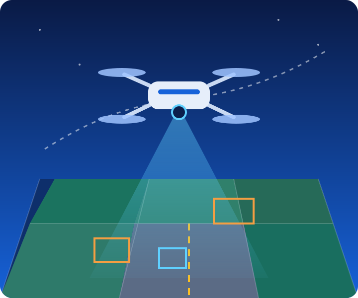
- Satellite, aerial and drone imagery analytics
- Land-use change and encroachment detection
- LiDAR, BIM and IoT integration

Digital Twin & 3D
- 3D city and asset models on live data
- Simulation and scenario analysis
- Monitor and plan urban infrastructure

Custom GIS Products
- Asset management and tracking
- Planning and regulatory platforms
- Citizen and field applications
Example Applications
Where It Helps
Typical use cases for government and enterprise clients.
Property & land mappingUrban planning supportUtility network GISSmart city digital twinMining area monitoringHighway inspection
Explore More
Other Solutions
Ready to Turn Your Data into Decisions?
Tell us about your challenge. We’ll get back to you within one business day.